Cown Edge Walk
Reading time: 5 minutes (921 words)Author: @pugmiester
Tags: walking , charity
Another training walk for my upcoming charity walk in June in aid of Cancer Research UK.
Starting at Broadbottom Railway station at around 1PM, I made may way up the steps and turned left down the lane. How many steps??? That’s an exercise for the reader, but there are “more than some”.
I remember this, yeah this looks just like the route I walked with dad a few (maybe 6) years ago. I just follow the lane down past this.. Wait, what’s this? Hang on, has the road/route changed. Right in the middle of the path I’m expecting to take I find a closed gate with a sign hung on it. I forgot to grab a photo of the sign but it looked something like this..
   Private
Footpath Only
Use a comma already. So is this a “private footpath only” or is the lane private and you can only use the footpath? I assumed the latter, opened the gate, closed it after me and continued down the lane following the route I mapped out previously.
I leave the lane after maybe a quarter of a mile and head over the river across the footbridge. There are a few walkers having lunch on the river bank.
I start the climb up through the woods around the left had side of Boarfold camp site. This section was really hard work. I forgot to get a photo, I was too busy focusing on making it to the top before I collapsed. I’ve already ditched my waterproof jacket because I’m too warm. No stopping though, I just packed it in my rucksack while I walked. I’m on a mission you know.
Once at the top of the woods I emerge onto Far Woodseats lane before turning left and following the footpath down int…..
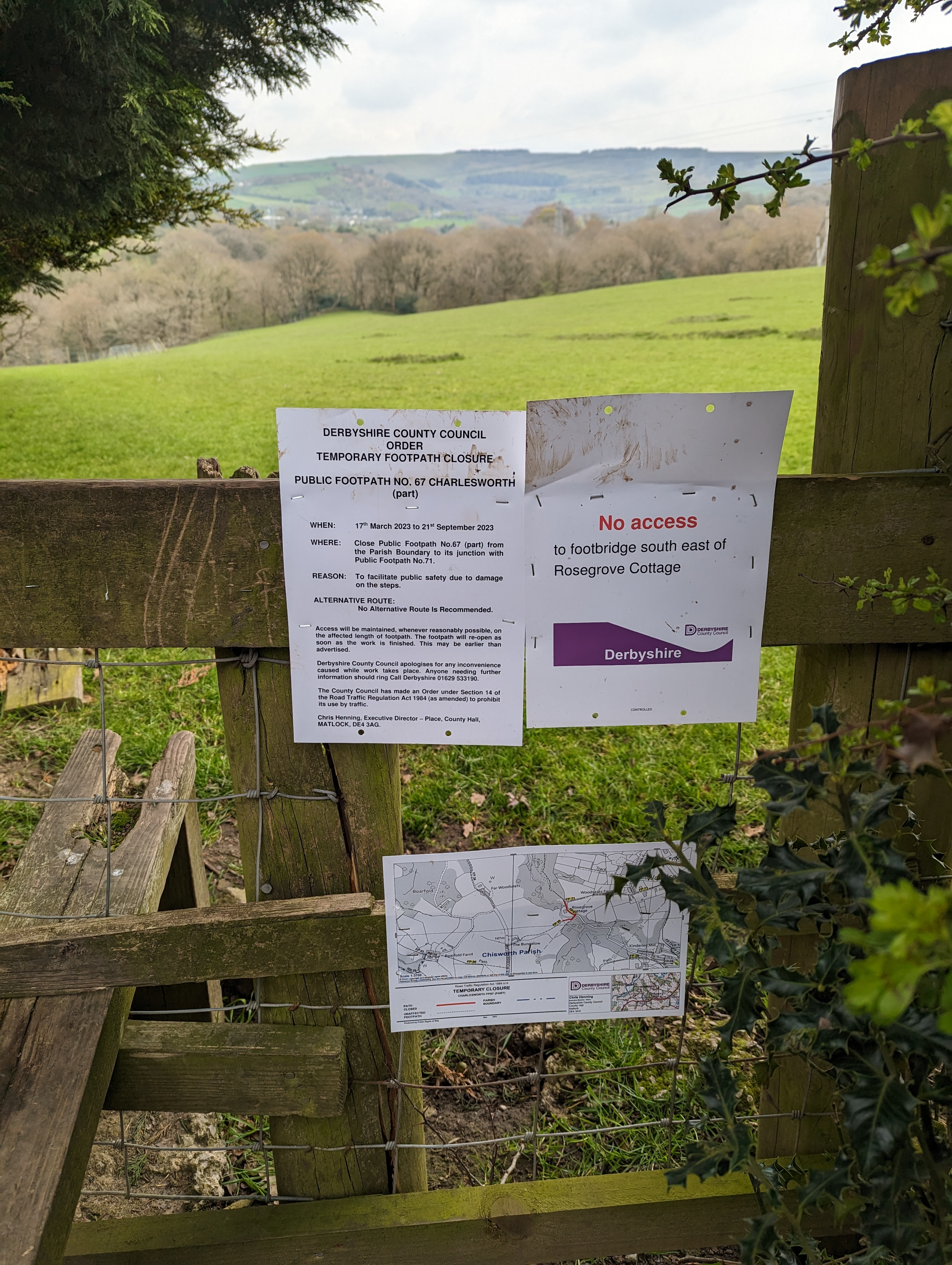
Oh come on, you must be joking. I’m about one mile into an 8 mile walk and I’m already having to take a detour. Not a great sight but nothing I can do about it, so I detoured up to the main road before rejoining the route a little further down. I don’t think there will be much difference in the length of the route.
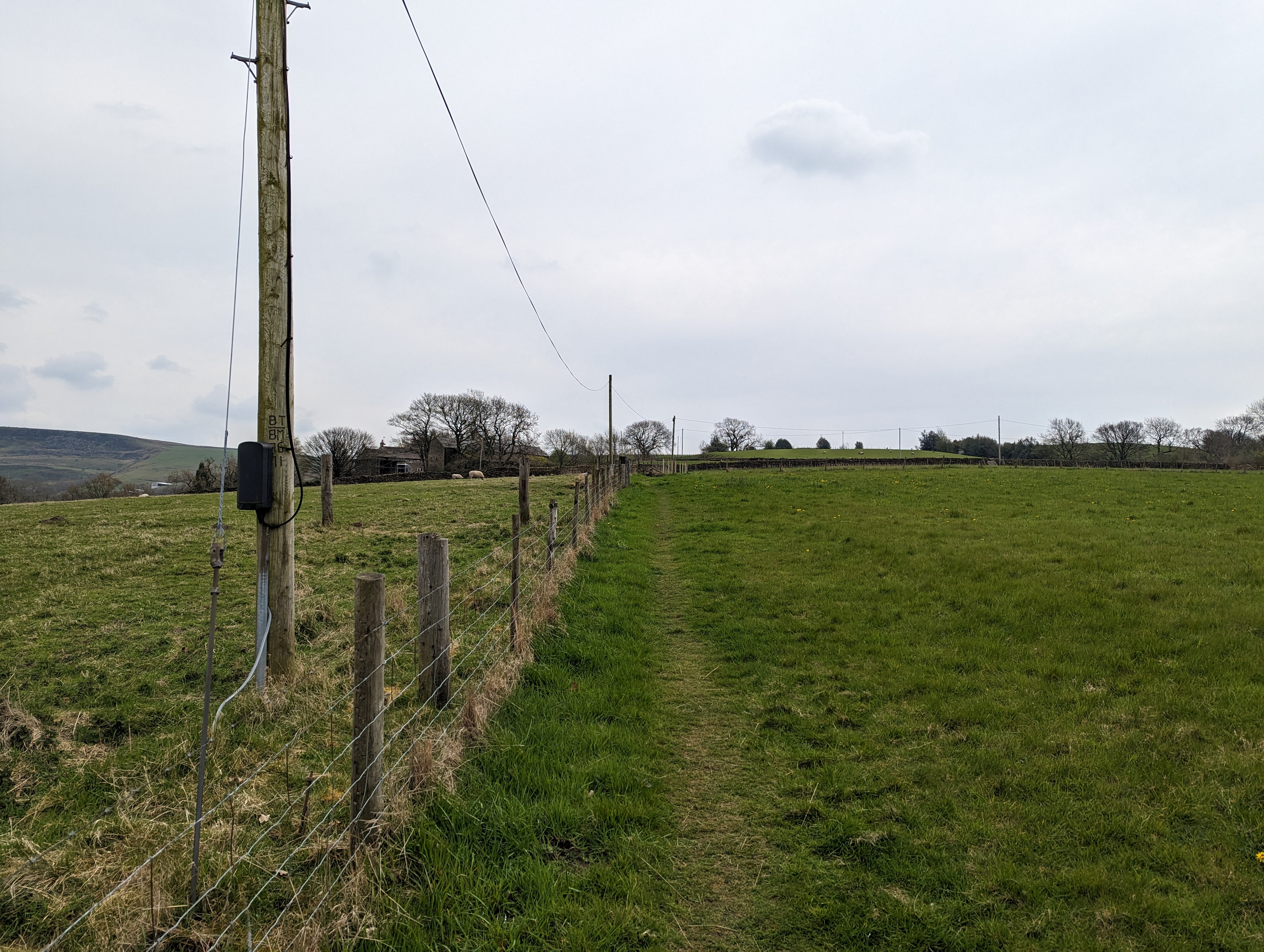
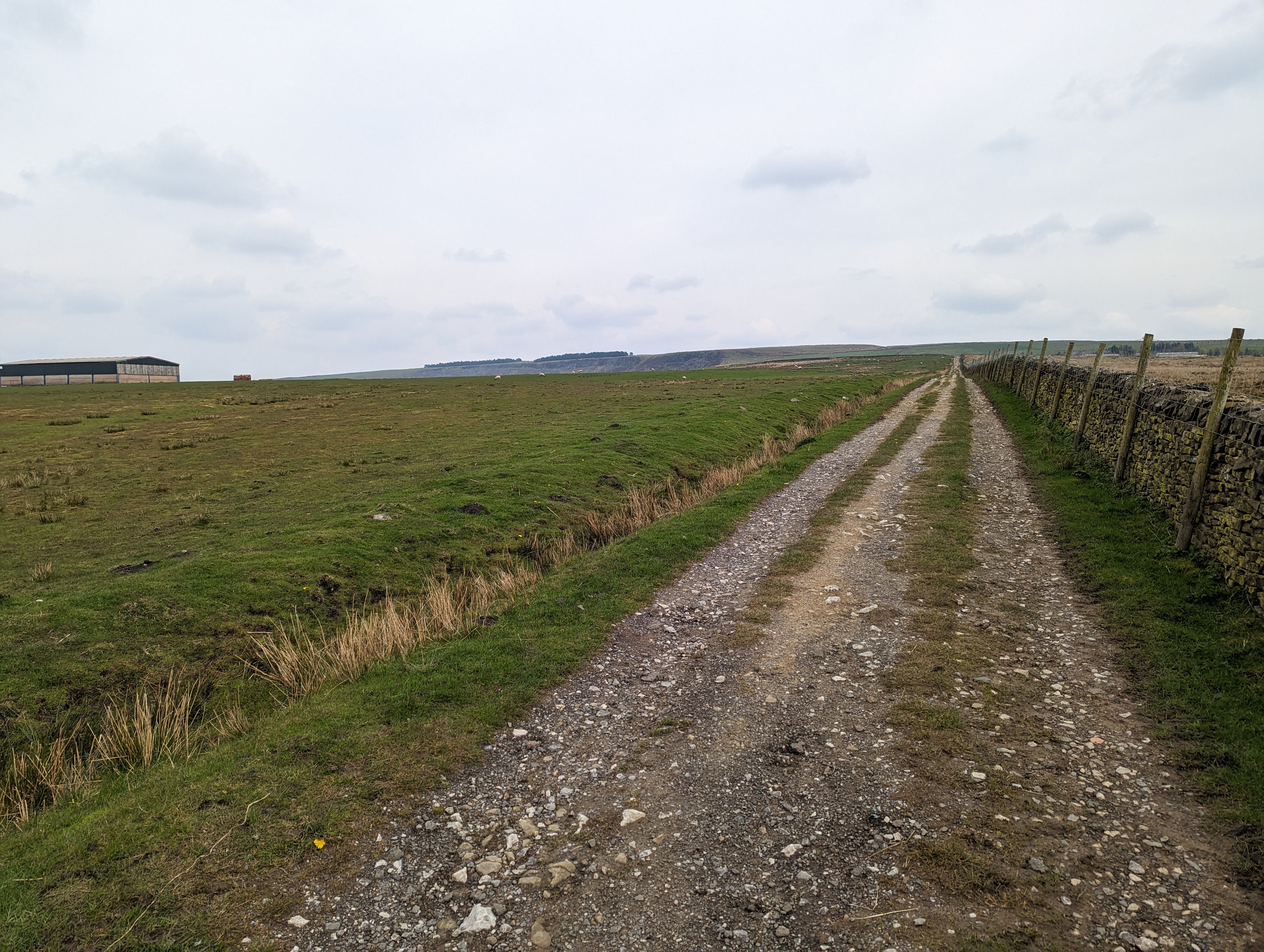
I continue the slog uphill, following the footpath through the fields, crossing stiles as I go.
Until eventually. There’s Cown Edge in the distance. I can see the halfway point, but it’s still a couple of miles away.
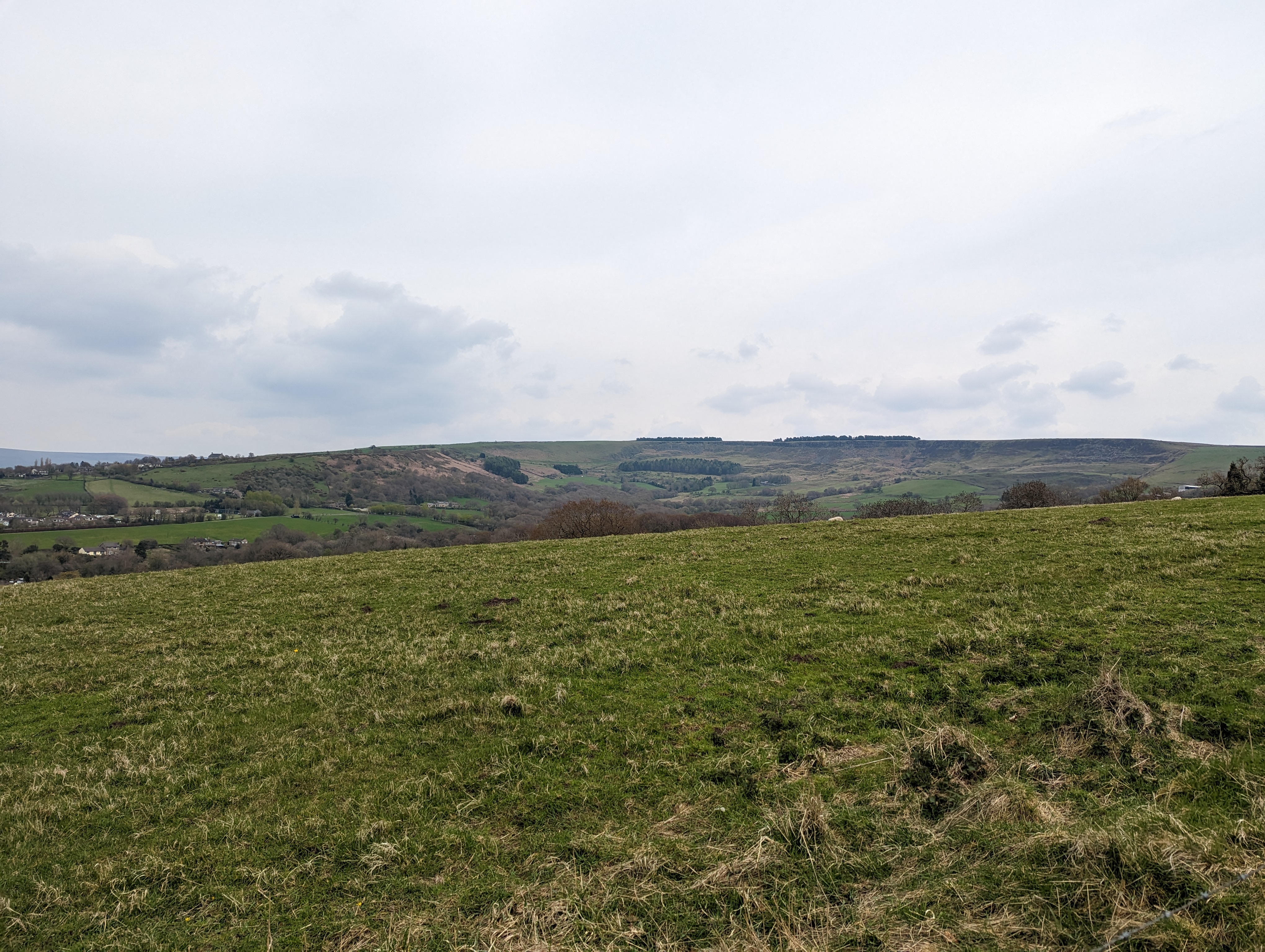
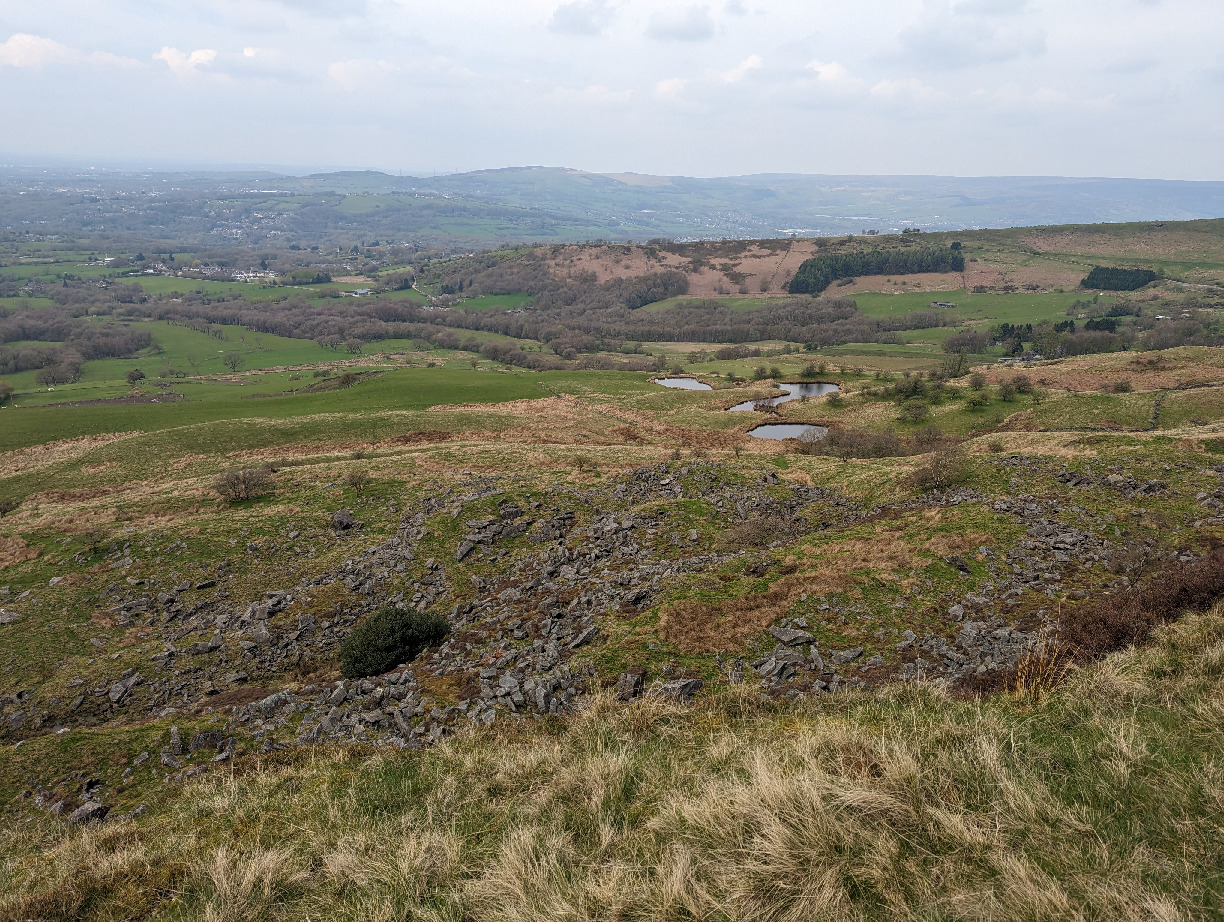
Yep, that’s where I’m heading. Right at the top of the hill where those very small looking patches of dark green trees are.
From here, I continued to ascend slowly over the next couple of miles working my way up towards Cown Edge. It’s a gentle slope but feels like it goes on forever. How come almost everybody else I’ve seen today is walking in the other direction?
I seem to be missing a photo here, but I reach a decision point. There’s a small gate and the path seems to continue upwards following the route I’ve been walking but it’s a nice looking new path and nothing like what I remember. I check my route. Yep, I turn left here and go right up to the edge of Cown Edge through these fields. So I climb the small style and continue towards the edge.
After a rather narrow and winding footpath I’ve made it to the top. 4 miles covered in around 1 hour 30 minutes. Slower than my pace on the flat but that was obviously expected.
I didn’t hang around too long to admire the view. It was quite windy up there and standing still made everything feel really cold so I pushed on.
It’s (almost) all down hill from here. I continued to follow the route across the top of Cown Edge and it curves down through a wide open sheep pasture. No rocks to trip over, no puddles to navigate and no hard road surface. I started thinking to myself that maybe I would get around to the end and do a second lap of the route. Maybe
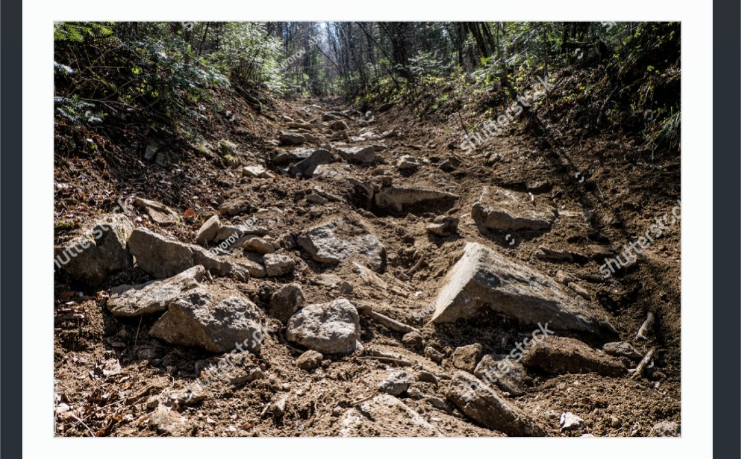
But then I crossed the stile onto Back Lane, possibly the roughest lane I’ve ever seen. It was only maybe 100 meters long but my feet and ankles took one heck of a pounding. I forgot to grab a photo, as I was too busy trying to keep myself from tripping, but this is roughly what is looks like..
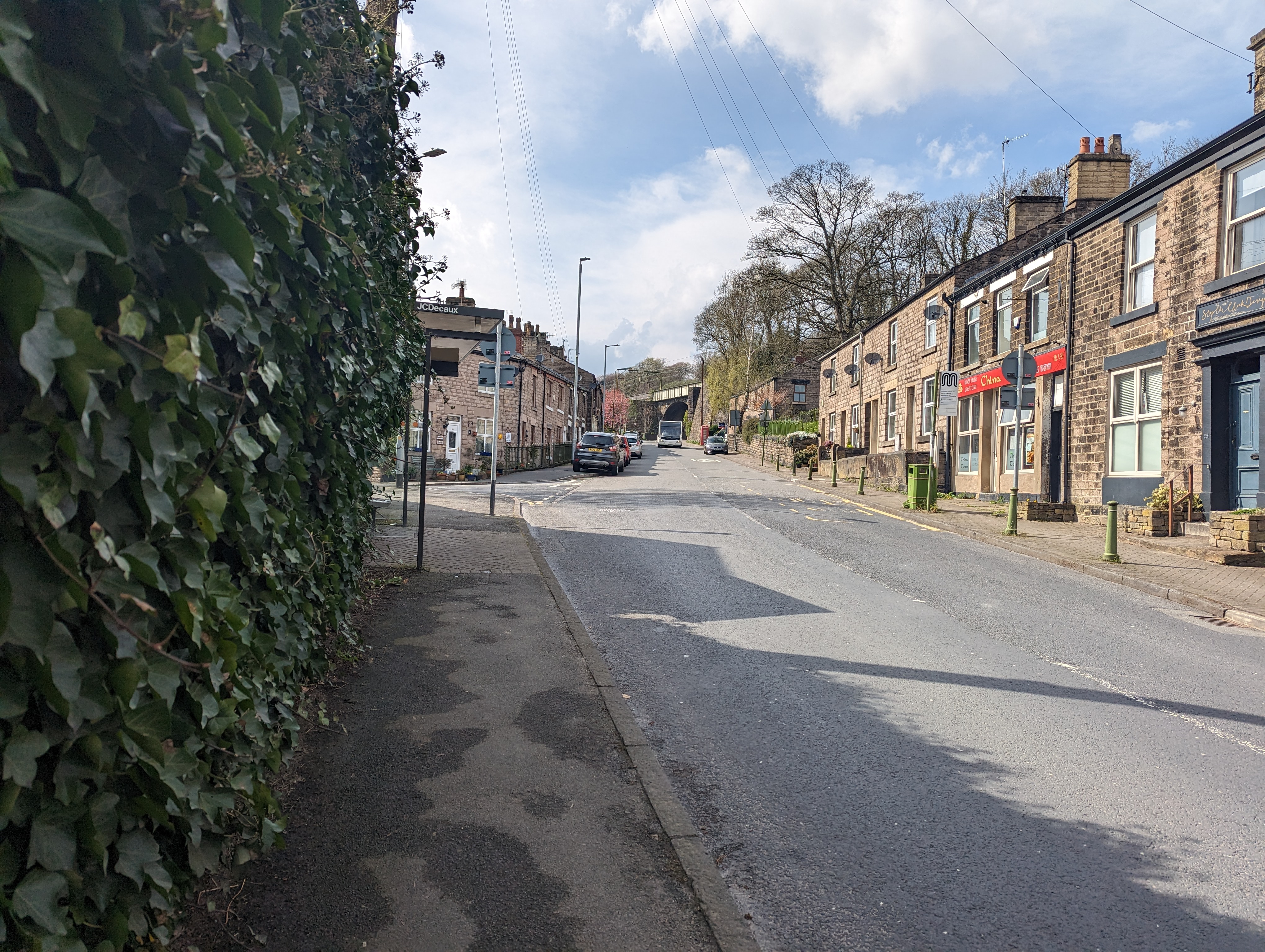
After Back Lane, I’m onto regular roads and pavement for a while as I descend down into Charlesworth village towards the George and Dragon pub. Considering it’s St Georges weekend, and a pub, it was very tempting to stop for a brief refreshmant but I kept going.
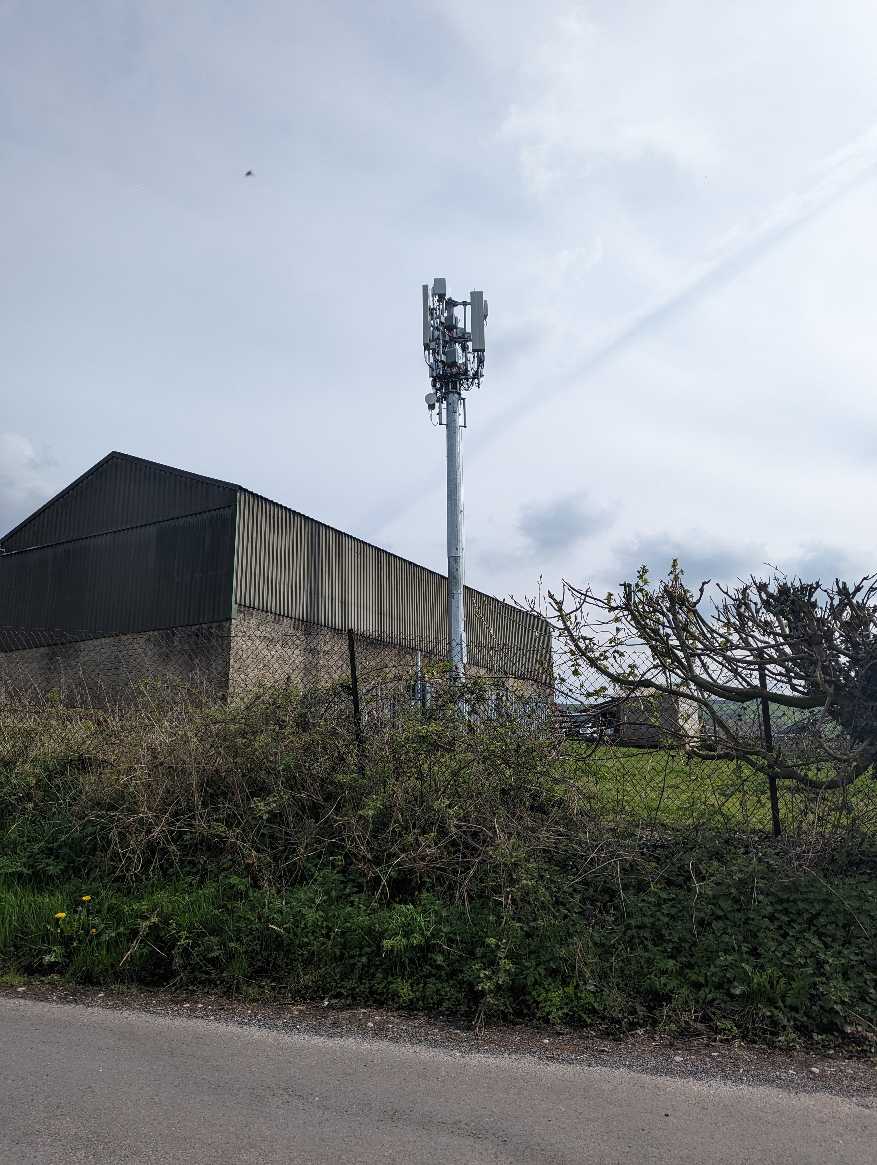
Turning the corner and continuing down the lanes towards the destination, I spoted a rare example of “Antenna in their natural habitat” so I had to stop and grab a quick picture.
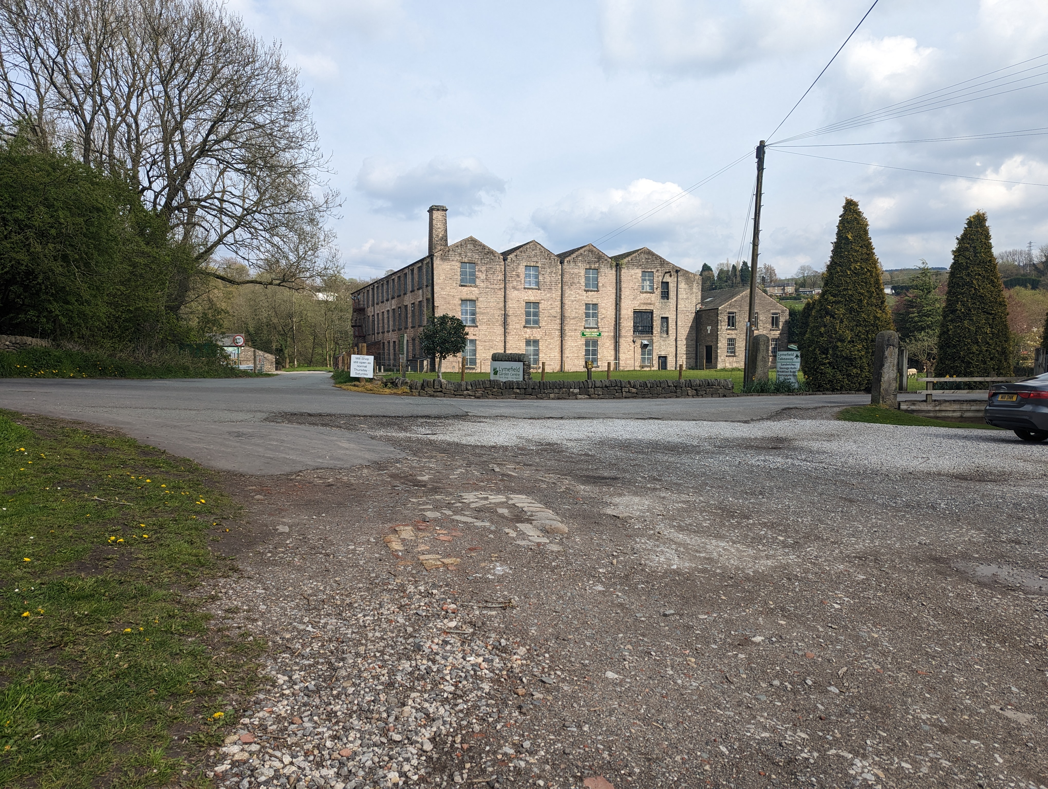
Continuing on I passed a few rather expensive looking farm houses and down towards the river Etherow. I crossed the footbridge and made my way along the nice footpath towards the Lymefield visitors centre before turning left back up the hill towards the station.
I’m nearly there. Just the last few hundred meters to go…
The end is in sight. I forgot to stop the recording so the very end is a little skewed but I’m more than happy with my pace.
Total time 2:52
Total distance 8:00
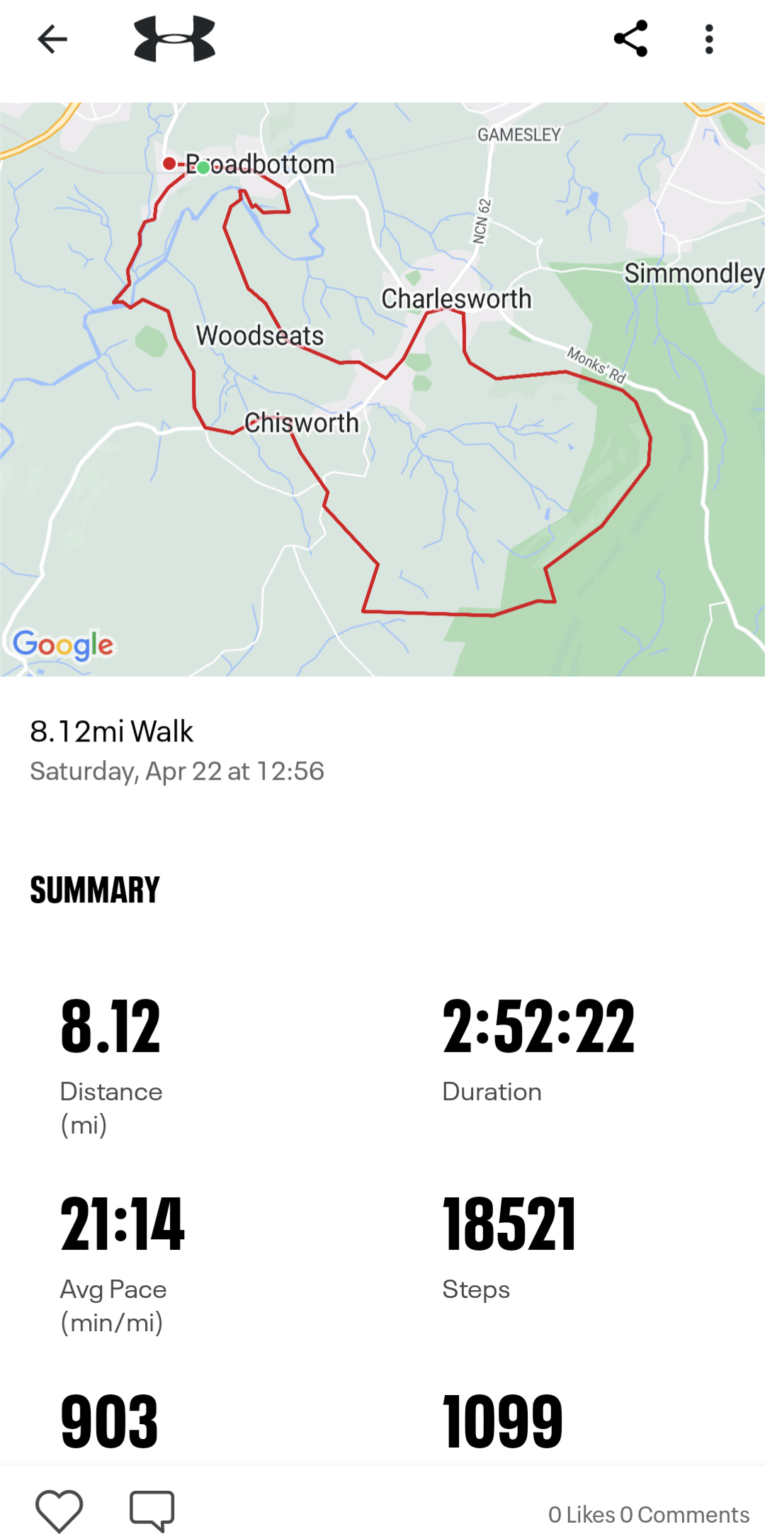
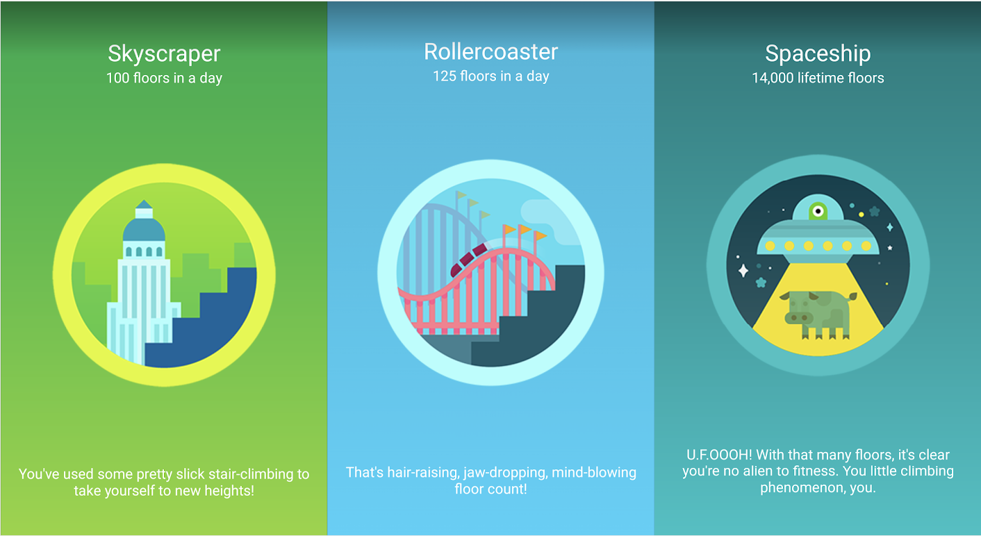
I also earned myself 3 Fitbit badges on the day with the amount of elevation I walked up and down.